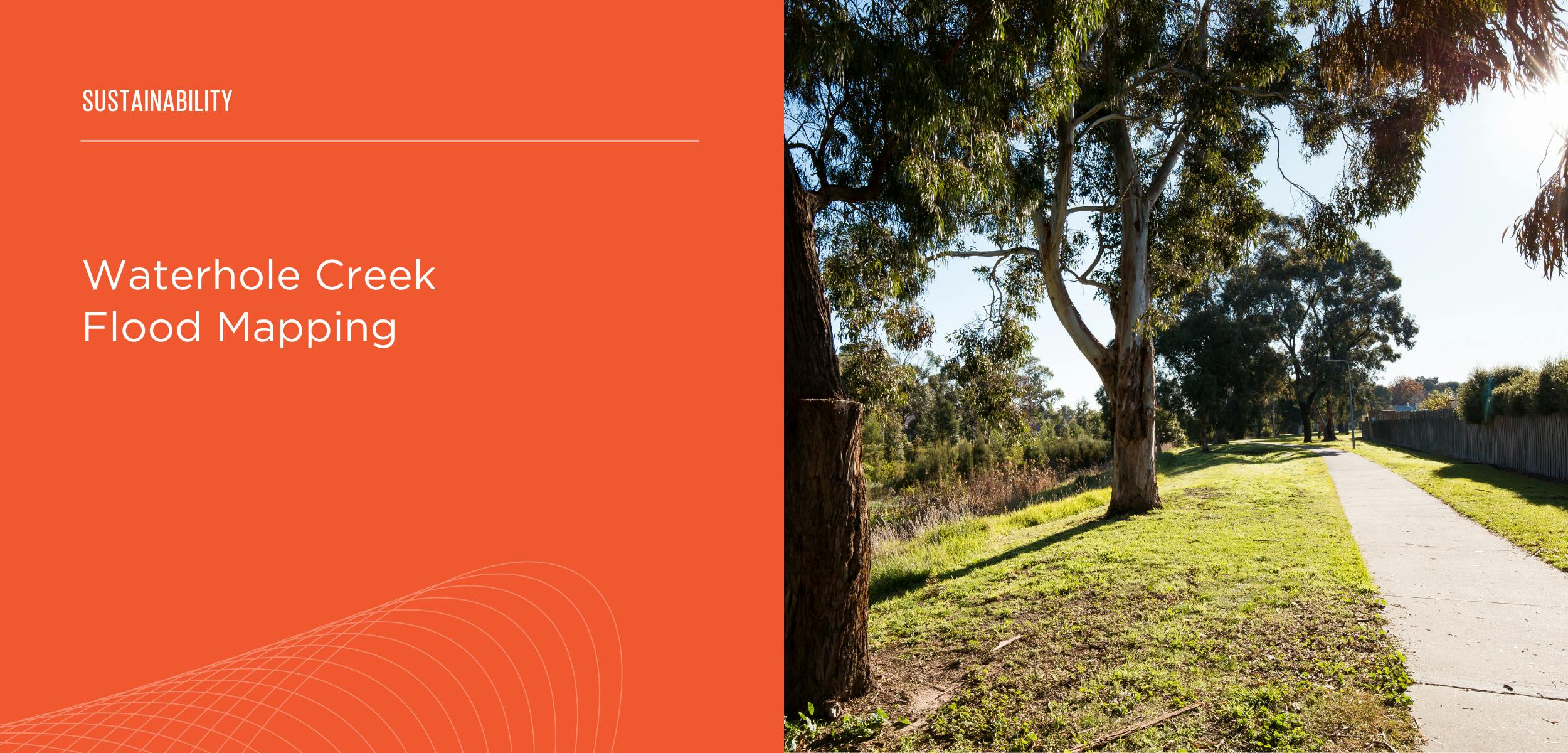
Waterhole Creek Flood Mapping
Share Waterhole Creek Flood Mapping on Facebook
Share Waterhole Creek Flood Mapping on X (formerly Twitter)
Share Waterhole Creek Flood Mapping on Linkedin
Email Waterhole Creek Flood Mapping link
Consultation has concluded
Council is encouraging community members to give their feedback on new flood maps for Waterhole Creek, Morwell.
Afflux Consulting has produced the new flood maps using the latest survey data and best practice flood modelling. To check these results, local community knowledge and feedback is essential.
Council wants the flood maps to be as accurate as possible for emergency planning and response, flood mitigation option assessment, and land use assessment.
Please review the Draft Flood Maps afflux-flooding.com.au then provide your feedback on flooding at Waterhole Creek on the consultation map below before 5.00pm Monday 16 December 2024.

Who's Listening
-
Latrobe City Council

Phone 1300 367 700