Amendment C131 Flood Overlays Update
Consultation has concluded.
Amendment C131 was first exhibited to the public in early 2022. During the first exhibition 67 submissions were received. The submissions were presented to Council at an Ordinary Council Meeting on 1 August 2022 where it was determined that further work should be undertaken.
Venant Solutions were engaged to undertake a peer review of the background studies and the planning scheme tools being applied. The recommendations from this peer review included changes to the flood maps.
Council has resolved on 5 February 2024 to re-exhibit the amendment as a result of these changes
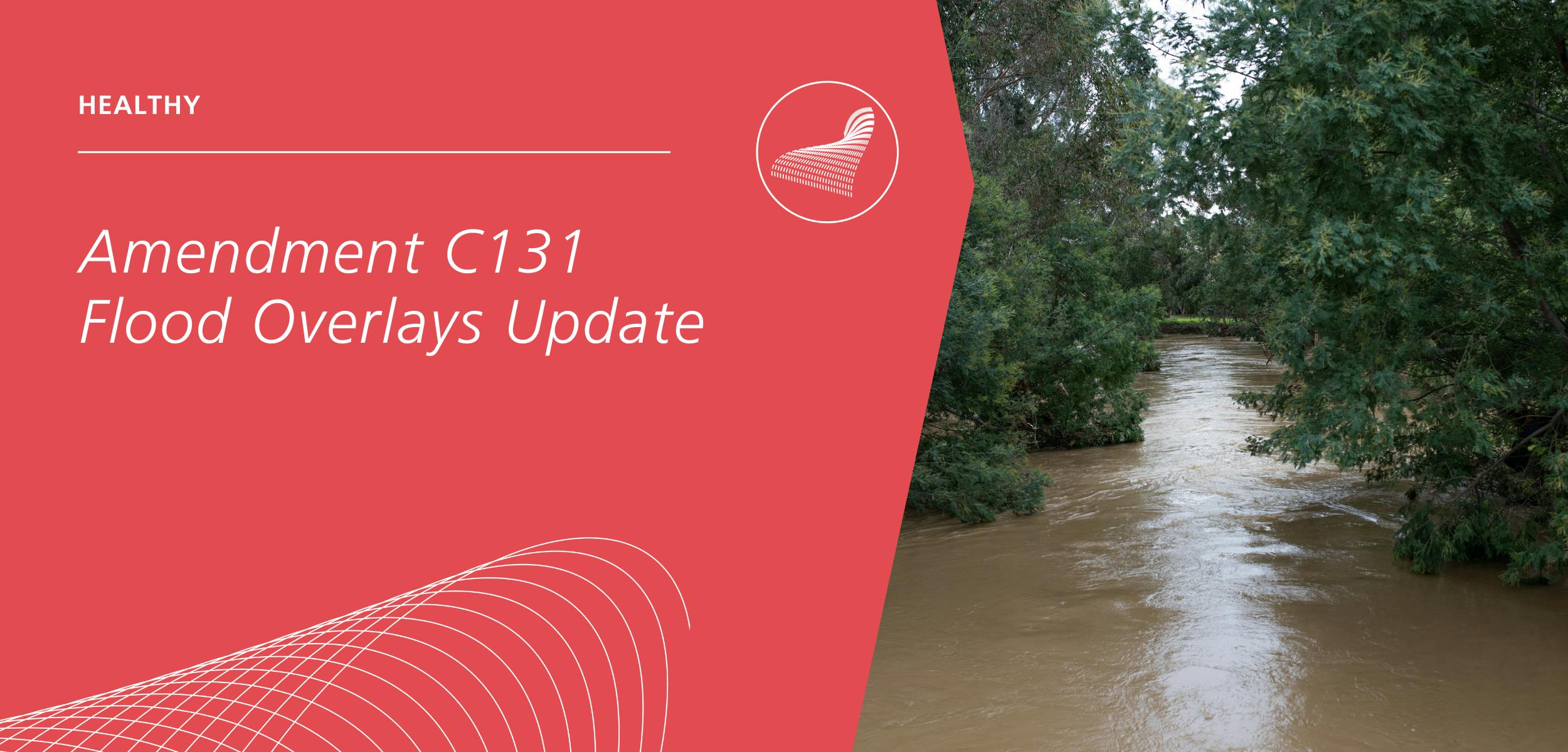
About Amendment C131
Amendment C131 implements nine flood studies undertaken between 2011 and 2021 by changing the extent of the Land Subject to Inundation Overlay (LSIO) and Floodway Overlay (FO) to match the data in the flood studies as per recommendations made in the West Gippsland Floodplain Management Strategy (2018 – 2027) prepared by the West Gippsland Catchment Management Authority.
The proposed amendment will update flood controls based on modelling from the nine flood studies. The Amendment affects 4,998 Ha of land.
- 1260 properties have the LSIO or FO added onto their property.
- 771 properties have the LSIO or FO removed from their property.
- 1292 properties have the change in the extent of the LSIO or FO on their property. This includes 1120 properties that have the flood control changed from the LSIO to FO.
Specifically, Amendment C131 proposes to
- Amend Clause 02.04 (Strategic Framework Plans) to include a new Strategic Framework Plan,
- Amend Clause 11.01-1L (Glengarry) to include a new Glengarry Town Structure Plan (GTSP),
- Amend Clause 72.03 (What does the planning scheme consist of?)
- Amend Planning Scheme Maps: LSIO-FO Maps Nos 5, 11, 14, 15, 16, 17, 18, 19, 20, 21, 23, 24, 25, 37, 38, 41, 42, 43, 44, 47, 48, 49, 50, 56, 60, 61, 63, 64, 65, 66, 69, 70, 82, 83, 86, 91, 92, 101,102, 114.
- Delete Planning Scheme Maps: LSIO-FO Maps Nos 26, and 52.
- Insert new Planning Scheme Maps: LSIO-FO Maps Nos 4, 40, 71 and 76.
Make A Submission
Privacy Collection notice
planning scheme amendment process is a statutory process that is transparent and public, where all parties affected can provide input into the amendment. If you choose to make a submission, you consent to your submission and name being made public through the amendment process and being published in reports that will remain public indefinitely.
As required by the Planning & Environment Act 1987, your submission will be made available for public viewing including on Council's website and be provided to other parties involved in the planning scheme amendment process including Planning Panels Victoria and the Minister for Planning.
Document Library
-
 Background Documents
-
 Floodplain mapping Glengarry Eaglehawk Creek (4.01 MB) (pdf)
-
Floodplain Mapping for Upper Traralgon Creek (7.44 MB) (pdf)
-
Monash Way, Churchill - Scoping Study (6.7 MB) (pdf)
-
Latrobe River Flood Study (24.3 MB) (pdf)
-
Floodplain Mapping for Tyers River (15.7 MB) (pdf)
-
Morwell North West DCP Drainage (6.94 MB) (pdf)
-
Traralgon Creek Flood Study (7.44 MB) (pdf)
-
Floodplain mapping Rintouls Creek (16.8 MB) (pdf)
-
Amendment C131 -Land Subject to Inundation Overlay and Peer review (5.75 MB) (pdf)
-
WGCMA Flood Study Mapping Methodology 2023 (249 KB) (pdf)
-
-
Amedment Documents